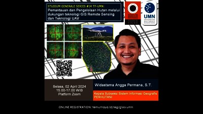
Fisika, Teknik (2024) "Pemantauan dan Pengelolaan Hutan melalui Dukungan Teknologi GIS Remote Sensing dan Teknologi UAV" - Widastama Angga Permana, S.T. In: Studium Generale Series.
![[img]](https://kc.umn.ac.id/36614/1.hassmallThumbnailVersion/Cover%20Webinar%2014.jpg)
|
Image
Cover Webinar 14.jpg Download (140kB) | Preview |
Official URL: https://www.youtube.com/watch?v=j32pphkccTk
Abstract
Webinar kuliah umum pertemuan ke-14 membahas pemantauan dan pengelolaan hutan melalui dukungan teknologi GIS Remote Sensing dan UAV. Acara ini dipandu oleh Bapak Widastama Angga Permana, S.T., Kepala Subseksi Sistem Informasi Geografis Perhutani, yang akan membagikan wawasan tentang penerapan teknologi canggih dalam pengelolaan hutan yang lebih efisien.
| Item Type: | Conference or Workshop Item (Lecture) |
|---|---|
| Creators: | Fisika, Teknik |
| Contributors: | |
| Keywords: | UAV, Hutan, Teknologi, Drone, Remote, Sensing, Teknik, Fisika |
| Subjects: | 600 Technology (Applied Sciences) > 620 Engineering > 621 Applied Physics 600 Technology (Applied Sciences) > 620 Engineering > 628 Environmental Protection Engineering 600 Technology (Applied Sciences) > 620 Engineering > 629 Other Branches of Engineering (Aerospace, Aviation, Astronautics, Robotics) |
| Divisions: | Faculty of Engineering & Informatics > Engineering Physics |
| Date Deposited: | 21 Feb 2025 04:32 |
| URI: | https://kc.umn.ac.id/id/eprint/36614 |
Actions (login required)
 |
View Item |


